Gail and I had such a wonderful time hiking around Wright's Lake on Monday that we just HAD to go back! We seem to be on a mission to hike all the trails in that area, so away we went! This time we chose the trail to Bloodsucker Lake.
What an adventure!


Gail walked across the log to get to the other side of the creek, but I decided to hop across rocks instead ...

Quite shallow, but not shallow enough for non-waterproof boots!

So, I took my boots and socks off in the middle of the creek ... Testing my balancing skills ... It's obvious I could have walked across the log, too!

Mountain Pennyroyal

I have NO IDEA what kind of flower this is, but I'd really like to find out!

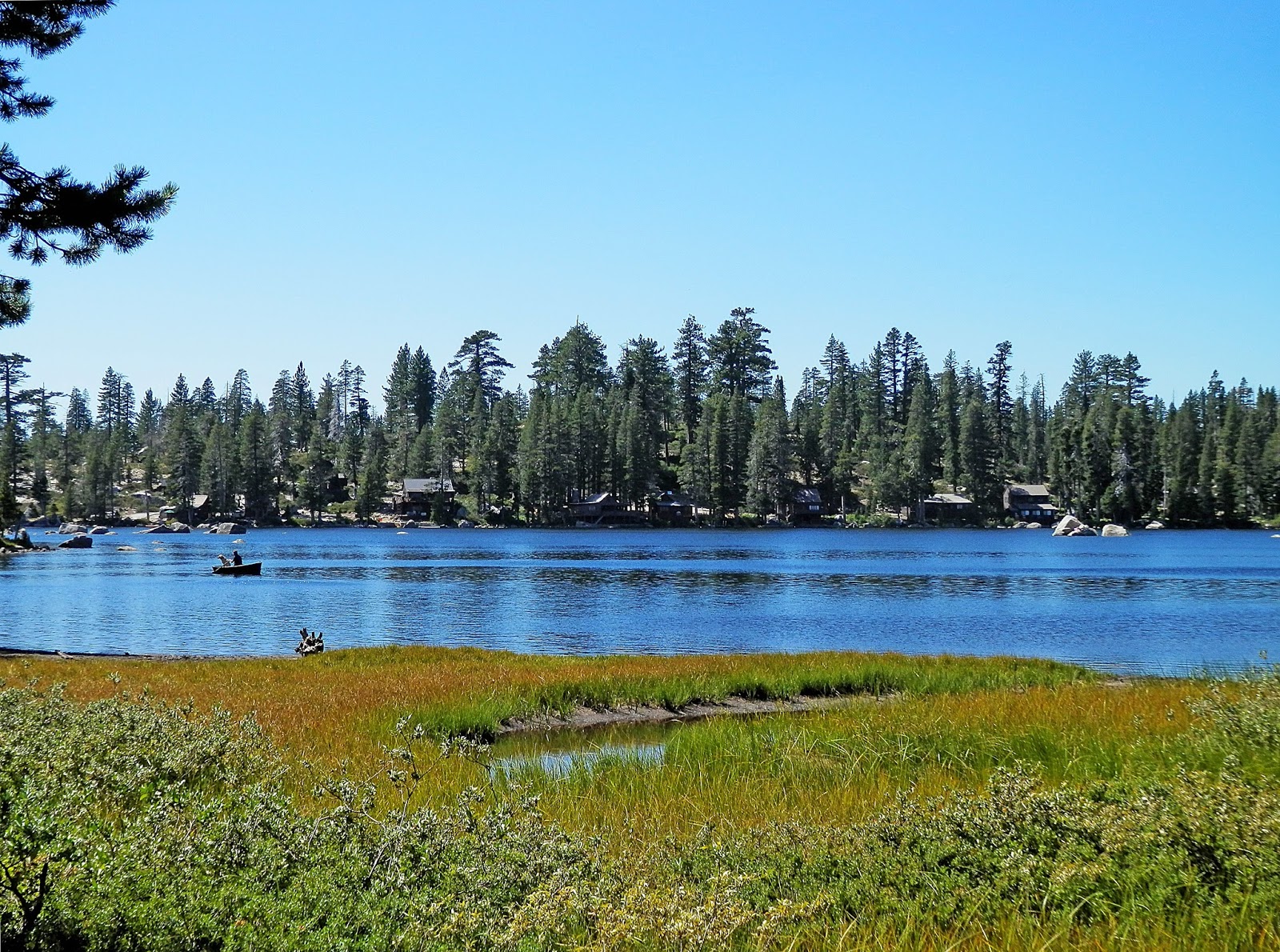
Amazing views at every step!

Western Bistort AKA Lady's Thumb

Monstrously large Ponderosa Pines all along the trail!

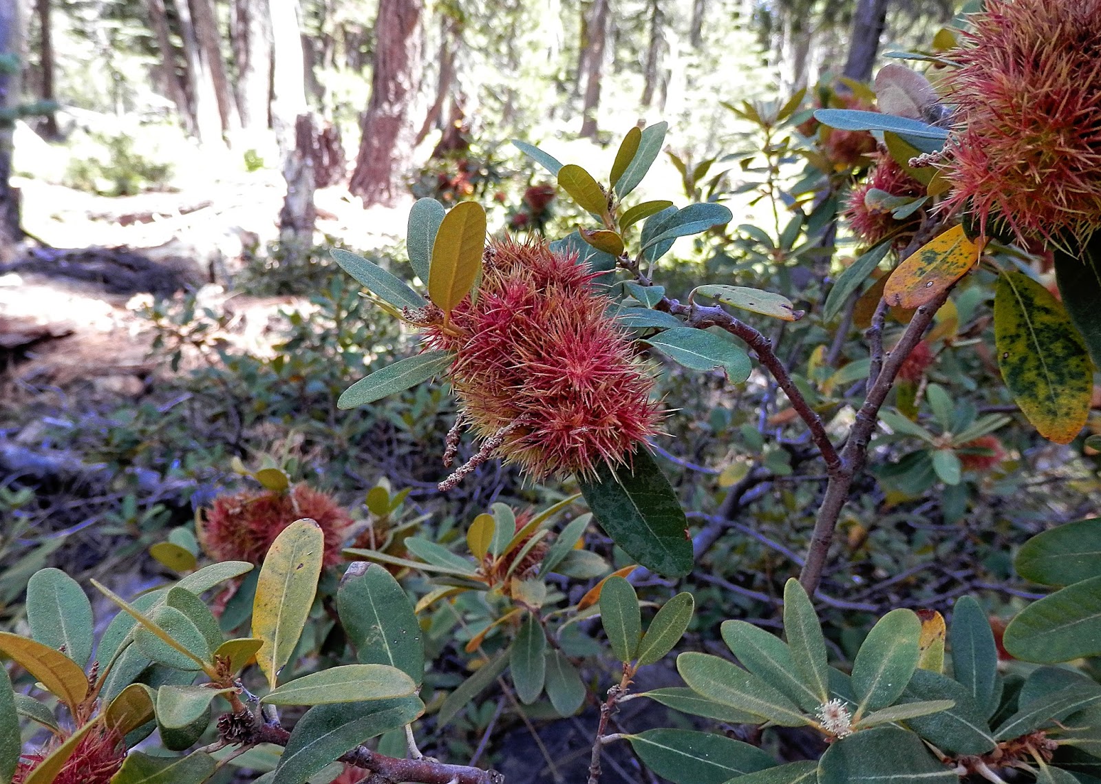
Bush Chinquapin

Looks like neon green/yellow lichens took over this majestic giant.


Ferns are everywhere up there!

Pearly Everlasting (Aster)

Western Asters with a Great Basin Fritillary Butterfly


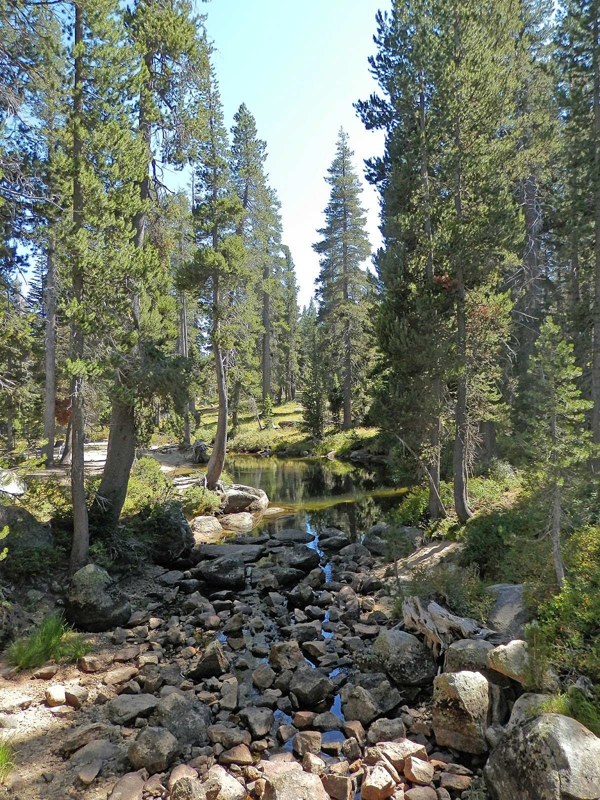
One of the creek crossings ... This time by bridge!


Lewis' Monkeyflower

Sierra Gooseberry. Edible, but difficult to get to!


Where we were headed ... Lots more elevation climbing ahead!

Where be had been ...


Blue Mountain

Blue Mountain, Mount Agassiz and Pyramid Peak ...
The highest point in the Desolation Wilderness at 9983 feet above sea level.
Oh, and this is Bloodsucker Lake! Appropriately named for the leeches that reside within.

Blue Eyed Dragonfly


An Alpine Gentian

Western Aster


This is for my sweetheart, Conrad. I love you, honey!
Thank you for letting me explore the wilderness with my girlfriends!

Western Aster

Pussypaws

A Ripe Sierra Gooseberry!


Another Great Basin Fritillary Butterfly. These beautiful creatures were all over the place in pairs. Delightful to watch!
***NOTE*** Gail and I made an important discovery during this hike. Sometimes there are more than one trail leading to the same place, and sometimes there seem to be even more trails on the way back. We were within a mile from the parking lot where my Audi awaited, but we had a bit of an issue finding our way back! I had practically memorized the trails on the topo trail map, but we encountered a couple that were not on the map ... Hence, we got a little displaced temporarily. Obviously all worked out because I'm at home writing this post, but things sure could have turned out differently.
Here are some very important reminders when hiking ...
1. Plan your hike and hike your plan. (I'm borrowing that from scuba diving guidelines!)
2. Always know what direction your destinations are, both heading out and returning.
3. Take photos of where you're going and turn around and take photos so you can identify where you will be heading on your way back.
4. Don't skimp on provisions. Take extra food and water, and make sure your cell phone is 100% charged.
5. Always take a map and use hiking apps whenever possible. Take a GPS, if you have one, but make doubly sure you know how to use it! That goes for a compass, too!
6. Always, ALWAYS make sure someone knows where you are hiking and how long you plan to be gone. Make sure that person has emergency contacts for everyone in your hiking group, too.
7. Hike with people with similar or more advanced hiking experience and skills. By making your plan in advance, make sure every member of your party are in agreement of your plan.
8. When hiking with a group, always have a leader and a sweeper so nobody gets left behind.
9. Always ALWAYS stay together.
10. If you find yourself in a place you don't recognize, realize you might be lost and return to the point of least lostness and assess the situation. Make stacked rock "ducks" as reference points at trail junctions. Take chalk with you so you can make markings on trees or rocks when changing course, or if the trail seems unclear. (Chalk isn't permanent and doesn't cause pollution!) Use the sun as a reference point. If you've been following a body of water and it's continually been on, say, the right side, on the way back it will be on your left if you're backtracking the same trail/direction.
11.Remain calm. You'll get way more accomplished if you remain calm, rather than by freaking out.
12. And by all means ... Use good common sense.


.JPG)


