I am hosting a hike to Bassi Falls on Monday, however, I've never been there before, so I felt the need to make a RECON trip. Karen can't go on Monday, so she volunteered to go with me. We had a blast! About a month ago one of the local hiking groups posted a hike to Bassi Falls. Several of us wanted to go, but opted against it when there were 55 people signed up to go.
This is the information that was made available to us before the hike:
Distance: 5 miles in and out, beginner, with an optional .5 mile in and out, strenuous plus, from the base, to the top of the falls and back.
Elevation: From 4800 ft to 5400 ft. Change of 600 ft.
Pollock Pines, Eldorado National Forest, El Dorado County, Bassi Creek
Bassi Falls Height: 109 ft.
Bassi Falls are their most beautiful in the early spring. We did an exploratory hike along Bassi Creek to the base of the falls on Saturday, March16th and found the falls were flowing in full force. We will park along the pavement at the intersection of Ice House Road and the unmarked dirt road (Road 12N32A). We will hike about .5 miles along Road 12N32A, and stay to the right in the fork in the road, which will turn down towards the trailhead at Bassi Creek. The Bassi Creek Trail will wind along the Creek for 2.0 miles and end at the base of Bassi Falls. Along the creek trail there are numerous photograph opportunities of crystal clear pools and small but spectacular waterfalls. There was still snow through the area and we could be hiking over small patches of snow and snow run off along the trail. We will enjoy lunch at the base of the falls and those who wish to take the optional hike to the top may do so. Upon their return, we will return back to the trailhead and parking area.
The optional hike from the base of the falls to the top of the falls is about .5 miles and strenuous plus, but worth the trip.
Western Phlox
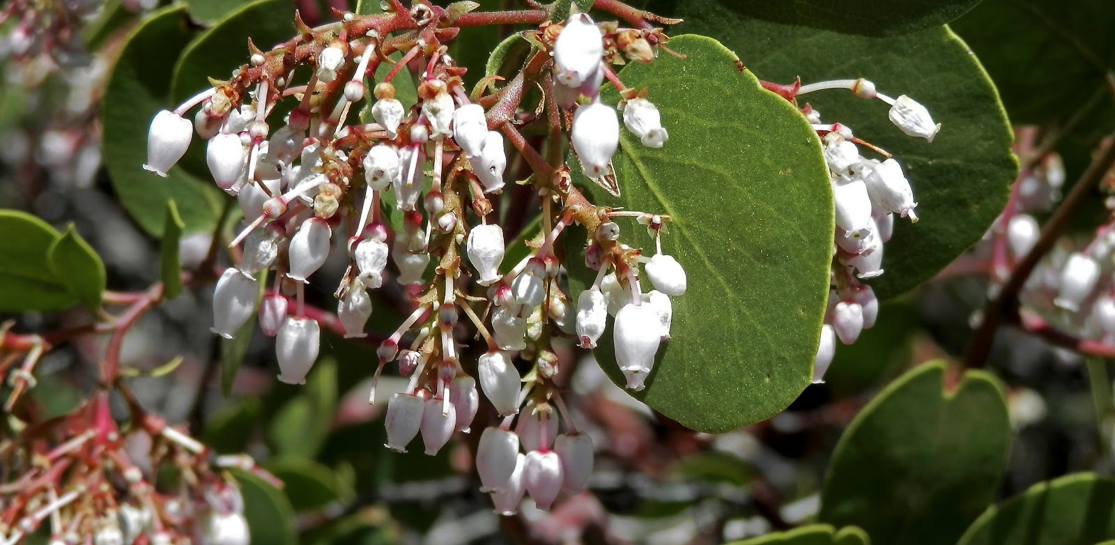
Manzanita